



| HEADLINE |

|

Sept to bring higher temperatures, low-pressure systems
Published : Tuesday, 1 September, 2026 at 8:43 PM
Observer Online Report


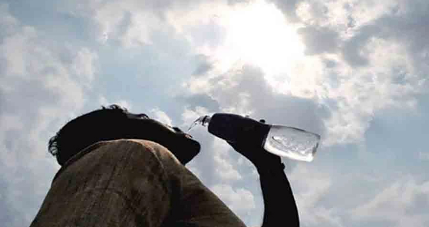
Collected Photo
Temperatures across the country are expected to rise in September, with day and night temperatures remaining higher than normal alongside two to three mild-to-moderate heatwaves.
During the same period, one to three seasonal low-pressure systems may form over the Bay of Bengal, with one potentially developing into a depression.
The expert committee of the Bangladesh Meteorological Department (BMD) provided these projections in its long-term forecast following a regular meeting at the Storm Warning Centre on Tuesday (September 1). BMD Director and Expert Committee Chairman Md Mominul Islam presided over the meeting.
According to the long-term report, the country is likely to receive less rainfall than normal in September, alongside three to five days of thunderstorms across various regions.
The report added that two to three mild (36°C-37.9°C) to moderate (38°C-39.9°C) heatwaves may sweep across the country. One to three seasonal low-pressure systems are expected over the Bay of Bengal, with one likely intensifying into a depression.
Main rivers across the country are expected to maintain normal flow levels. However, heavy rainfall could cause short-term flood situations in parts of the northern, north-eastern, and south-eastern regions.
Nationwide rainfall in August was 5.7 per cent below normal. Chittagong and Mymensingh divisions recorded above-normal rainfall, while Sylhet and Barishal saw normal levels. Other divisions recorded below-normal rainfall.
Four low-pressure systems formed in the Bay of Bengal during August, two of which intensified into seasonal depressions. Mild heatwaves swept across various areas in spells from August 10-12, August 22, and August 26-30.
The country's highest temperature in August was recorded at 37.0°C in Rajshahi on August 27, while the lowest was 22.6°C in Narayanganj on August 7. Maximum, minimum, and average temperatures in August were 0.8°C, 0.5°C, and 0.7°C higher than normal, respectively.
-SA
Loading...
Loading...
Also read







Editor : Iqbal Sobhan Chowdhury
Published by the Editor on behalf of the Observer Ltd. from Globe Printers, 24/A, New Eskaton Road, Ramna, Dhaka.
Editorial, News and Commercial Offices : Aziz Bhaban (2nd floor), 93, Motijheel C/A, Dhaka-1000.
Phone: PABX- 41053001-06; Advertisement: 41053012; 01793317829, 01550707291, E-mail: [email protected], [email protected] Online: email: [email protected] 41053014; 01550707297 Advertisement: 01550707296
Published by the Editor on behalf of the Observer Ltd. from Globe Printers, 24/A, New Eskaton Road, Ramna, Dhaka.
Editorial, News and Commercial Offices : Aziz Bhaban (2nd floor), 93, Motijheel C/A, Dhaka-1000.
Phone: PABX- 41053001-06; Advertisement: 41053012; 01793317829, 01550707291, E-mail: [email protected], [email protected] Online: email: [email protected] 41053014; 01550707297 Advertisement: 01550707296


